
Photography and Media — Page 21
3,769 artworks · Art Institute of Chicago
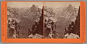
The Domes from Moran Point, Yosemite, from the series "Watkins' Pacific Coast"
Carleton Watkins, 1861/76
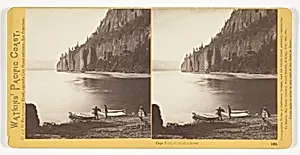
Cape Horn, Columbia River, No. 1231 from the series "Watkins' Pacific Coast"
Carleton Watkins, 1867
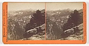
Unknown View, Yosemite, from the series "Watkins' Pacific Coast"
Carleton Watkins, 1861/76
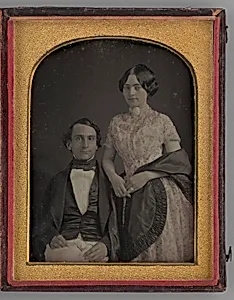
Untitled (Portrait of a Standing Woman and a Seated Man)
Unknown, 1847
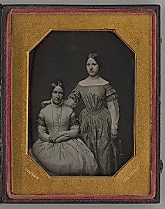
Untitled (Portrait of Seated Woman and Standing Girl)
Otis Hubbard Cooley, 1847
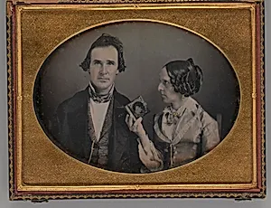
Untitled (Portrait of a Man and a Woman)
Unknown, 1851
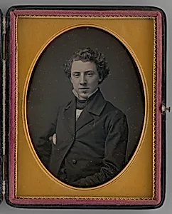
Untitled (Portrait of Man)
Boston School, 1858
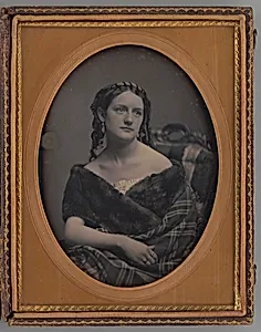
Untitled (Portrait of a Woman)
Unknown Maker, 1857
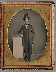
Untitled (Portrait of a Standing Man with a Top Hat)
Unknown Maker, 1857
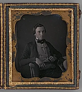
Untitled (Portrait of a Man)
Unknown Maker, 1855
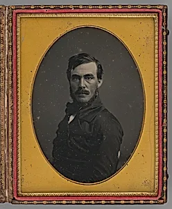
Untitled (Portrait of a Man)
Unknown Maker, 1855
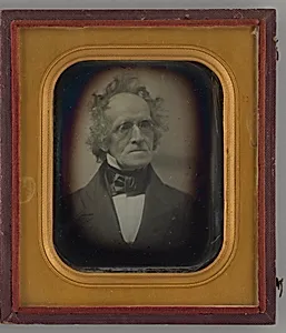
Untitled (Portrait of a Man)
Southworth & Hawes, 1847
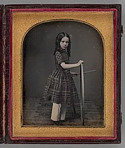
Untitled (Portrait of Girl Holding Stick and Hoop)
Unknown Maker, 1846
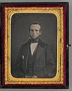
Untitled (Portrait of a Seated Man)
Mathew Brady, 1862
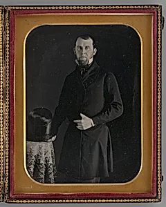
Untitled (Portrait of a Standing Man)
Edward Tompkins Whitney, 1848
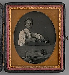
Untitled (Portrait of a Carpenter)
Boston School, 1857
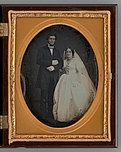
Untitled (Wedding Portrait)
Unknown, 1861
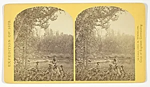
Coyotero Apache Scouts, at Apache Lake, Sierra Blanca Mountains, Arizona. Two members of the Expedition in the back-ground, No. 31 from the series "Geographical Explorations and Surveys West of the 100th Meridian"
Timothy O'Sullivan, 1873
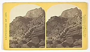
View of Grand Cañon walls, near mouth of Diamond River. From water line to first shelf 1.500 feet; from shelf to top of table 3.500 feet. Distance from point of view to top of walls 3 miles, No. 6 from the series "Geographical Explorations and Surveys West of the 100th Meridian"
Timothy O'Sullivan, 1871
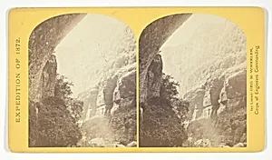
The Cañon of Kanab Creek, near its junction with the Grand Cañon of the Colorado. In the foreground is a dripping spring affording a shower bath. Temperature, 69° Fahr, No. 8 from the series "Geographical Explorations and Surveys West of the 100th Meridian"
William H. Bell, 1872
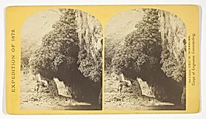
"The Bath," a dripping spring in Kanab Cañon. Temperature, 69° Fahr, No. 9 from the series "Geographical Explorations and Surveys West of the 100th Meridian"
William H. Bell, 1872
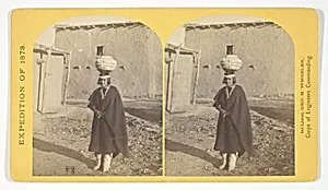
Zuni Indian Girl, with water olla, No. 17 from the series "Geographical Explorations and Surveys West of the 100th Meridian"
Timothy O'Sullivan, 1873
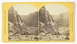
Mouth of the Paria, Colorado River; walls 2.100 feet in height, No. 11 from the series "Geographical Explorations and Surveys West of the 100th Meridian"
William H. Bell, 1872
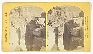
The northern wall of the Grand Cañon of the Colorado, near the foot of To-ro-weap valley. The rounded rocks of the foreground are sand-stone, No. 14 from the series "Geographical Explorations and Surveys West of the 100th Meridian"
William H. Bell, 1872
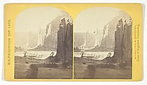
Central portion of Canñon de Chelle, New Mexico. This Canñon is one of the most remarkable in the west, and is noted for its beauty. The walls are of Red Sand-stone, nearly perpendicular, and at this point are 1.200 feet in height, No. 24 from the series "Geographical Explorations and Surveys West of the 100th Meridian"
Timothy O'Sullivan, 1873
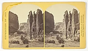
Camp Beauty, Canñon de Chelle; walls 1.200 feet high, width of Cañon at this point about one fourth of a mile. This view shows the perpendicular effect wrought by the action of floods. The Artist of the Expedition, Mr. Wyant, of New York, made a study of this scene with the intention to paint it as a characteristic Canon view, No. 25 from the series "Geographical Explorations and Surveys West of the 100th Meridian"
Timothy O'Sullivan, 1873
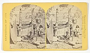
Aboriginal life among the Navajo Indians, Cañon de Chelle, New Mexico. Squaw weaving blankets. The native loom. The blankets made are of the best quality, and impervious to water, No. 26 from the series "Geographical Explorations and Surveys West of the 100th Meridian"
Timothy O'Sullivan, 1873
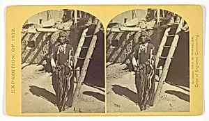
War Chief of the Zuni Indians, No. 20 from the series "Geographical Explorations and Surveys West of the 100th Meridian"
Timothy O'Sullivan, 1873
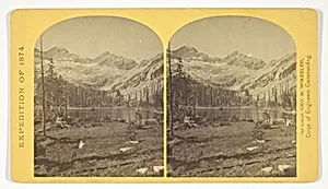
Alpine Lake, in the Cerro Blanco Mountains, Colorado. One of a group of ten lakes at the main head of Ute Creek. 11.000 feet above sea-level. Cerro Blanco Peak rises 14.269 feet abov the sea, lying to the westward, No. 45 from the series "Geographical Explorations and Surveys West of the 100th Meridian"
Timothy O'Sullivan, 1874
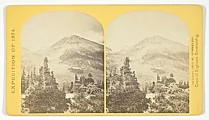
Baldy Peak, Cerro Blanco Mountains, Colorado, 14.234 feet above sea-level. Limit in altitude of vegetation about 11.000 feet, No. 46 from the series "Geographical Explorations and Surveys West of the 100th Meridian"
Timothy O'Sullivan, 1874
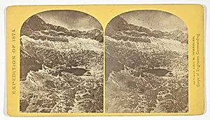
Alpine lakes, and mountain scenery, in the Cerro Blanco Mountains, Colorado, 13.000 feet above sea-level, No. 47 from the series "Geographical Explorations and Surveys West of the 100th Meridian"
Timothy O'Sullivan, 1874
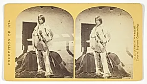
Shee-zah-nan-tan, Jicarilla Apache Brave in characteristic Costume, Northern New Mexico, No. 42 from the series "Geographical Explorations and Surveys West of the 100th Meridian"
Timothy O'Sullivan, 1874
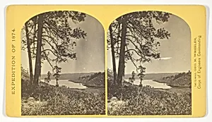
Lagunas Caballo, or Horse Lakes, 14 miles, N. W. from Tierra Amarilla, New Mexico. The water of the lakes is strongly mineral and not fit for men or animals to drink, No. 44 from the series "Geographical Explorations and Surveys West of the 100th Meridian"
Timothy O'Sullivan, 1874
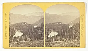
Lost Lakes, head of Conejos Cañon, Colorado, in the Sierra San Juan range, near divide between Conejos and south fork of Alamosa Rivers, surrounded by forest of Douglass spruce, and approximately 11.000 feel above sea-level, No. 37 from the series "Geographical Explorations and Surveys West of the 100th Meridian"
Timothy O'Sullivan, 1874
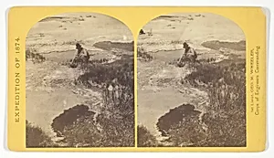
One of the group of Pagosa Hot Springs, showing incrustation on the surface. Much prized by the Indians and miners on account of supposed healing qualities. Principal mineral element, Sulphate of Soda, No. 38 from the series "Geographical Explorations and Surveys West of the 100th Meridian"
Timothy O'Sullivan, 1874
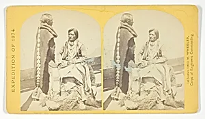
Ute Braves, of the Kah-poh-teh band, Northern New Mexico, in "full dress", No. 40 from the series "Geographical Explorations and Surveys West of the 100th Meridian"
Timothy O'Sullivan, 1874
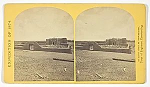
Roman Catholic Church, Plaza of Guadaloupe, Guadaloupe Co., Colorado. Built not many years since of adobes. Dimensions, length 120 feet; width 60 feet; height 25 feet. Grave yard in the foreground surrounded by an abode wall about 6 feet in height, No. 34 from the series "Geographical Explorations and Surveys West of the 100th Meridian"
Timothy O'Sullivan, 1874
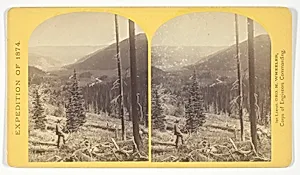
Cañon, Valley of the Conejos River, looking south from vicinity of "Lost Lakes", No. 36 from the series "Geographical Explorations and Surveys West of the 100th Meridian"
Timothy O'Sullivan, 1874
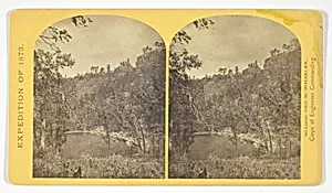
Apache Lake, Summit of Sierra Blanca Mountains, about 35 miles east from Camp Apache, Arizona, and 10.500 feet above sea-level. This lake is similar to many found in the western mountains, No. 30 from the series "Geographical Explorations and Surveys West of the 100th Meridian"
Timothy O'Sullivan, 1873
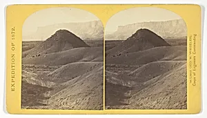
The "Vermillion Cliff," a typical plateau edge, as seen from Jacobs Pool, Arizona. From its top a plateau stretches to the right, and from its base another to the left. Their difference of level is 1.500 feet, and the step is too steep for scaling, No. 15 from the series "Geographical Explorations and Surveys West of the 100th Meridian"
William H. Bell, 1872
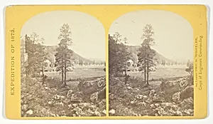
Cooley's Ranch, 10 miles east of Camp Apache, Arizona. A characteristic mountain "Park" and Apache Indian Farm. Here the Apaches grow corn, wheat and a few vegetables, No. 32 from the series "Geographical Explorations and Surveys West of the 100th Meridian"
Timothy O'Sullivan, 1873
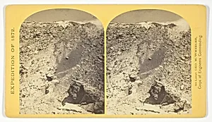
View in the Grand Cañon of the Colorado River, No. 12 from the series "Geographical Explorations and Surveys West of the 100th Meridian"
William H. Bell, 1872
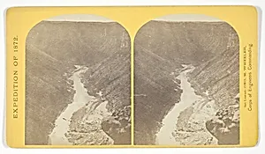
Marble Cañon, one of the gorges of the Colorado here, 1.200 feet deep. The steep cliff is gray limestone and the slope below a brilliant red sandstone, No. 13 from the series "Geographical Explorations and Surveys West of the 100th Meridian"
William H. Bell, 1872
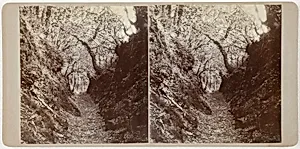
Untitled (Lydford)
Artist Unknown, 1860s
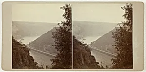
Untitled (From the Lorelei)
Artist Unknown, 1860s
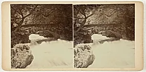
Untitled (Glen Lyn)
Artist Unknown, October 1903
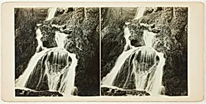
Untitled (Gordale Scar)
Artist Unknown, 1860s
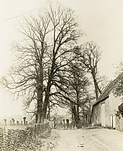
Kelmscott Manor: Road and Entrance
Frederick H. Evans, 1896